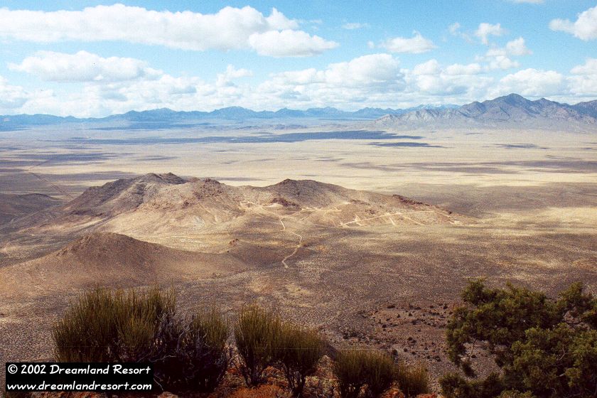
View to the west from Flat Top (north of Queen City Summit) over the south end of Railroad Valley. The network of dirt roads in the foreground leads to a small mining operation. On the right is the south end of the Reveille Range and behind it Reveille Valley. The road on the left leads to Cedar Pipeline Ranch and to Cedar Pass in the background. [October 2000]
View northwest from Tikaboo Peak over Tikaboo Valley. The Groom Mountain Range can be seen in the background. The road on the right is the E.T. Highway leading over Coyote Summit to Rachel. The road across in the valley is Groom Lake Road, the main access road to the mysterious Area 51, which lies behind the hills on the left. [May 2000]
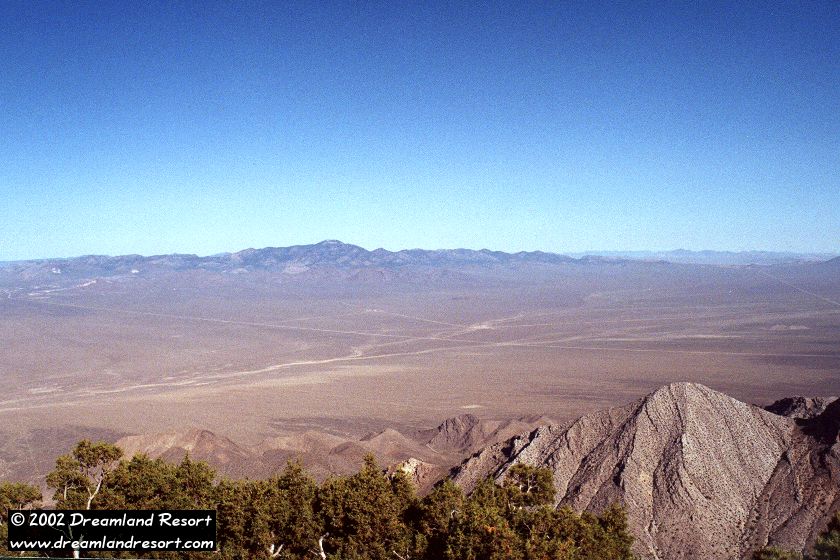
View south from Mount Irish over the Pahranagat Mountain Range. The tallest peak in the mid-ground is Tikaboo Peak, from where the photo above was taken. [October 2000]
View south-west from Mount Irish over the Pahranagat Valley, including Alamo and the Pahranagat Lakes. [06/06/2008, click to enlarge]
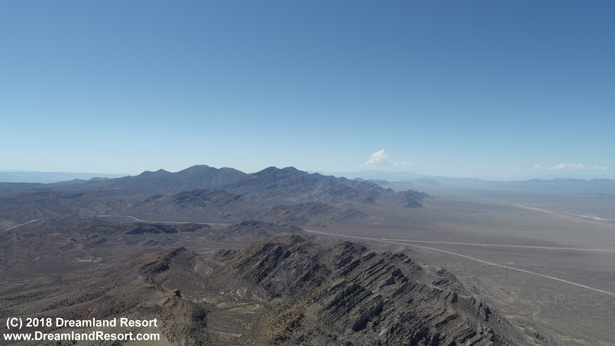
Aerial view roughly south from the Powerlines Overlook north of Hwy 375 over the Pahranagat Mountain Range with Tikaboo Peak. Hwy 375 can be seen in the valley, including Hancock Summit and the Groom Lake Road intersection. [07/23/2018, click to enlarge]
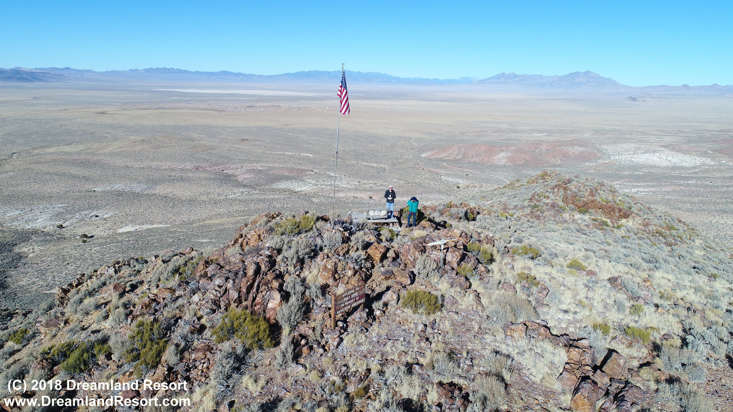
Aerial view from Fort Sims over Rachel and Sand Spring Valley with the dry lakebed and the Worthington Mountains in the background. [12/26/2017, click to enlarge]
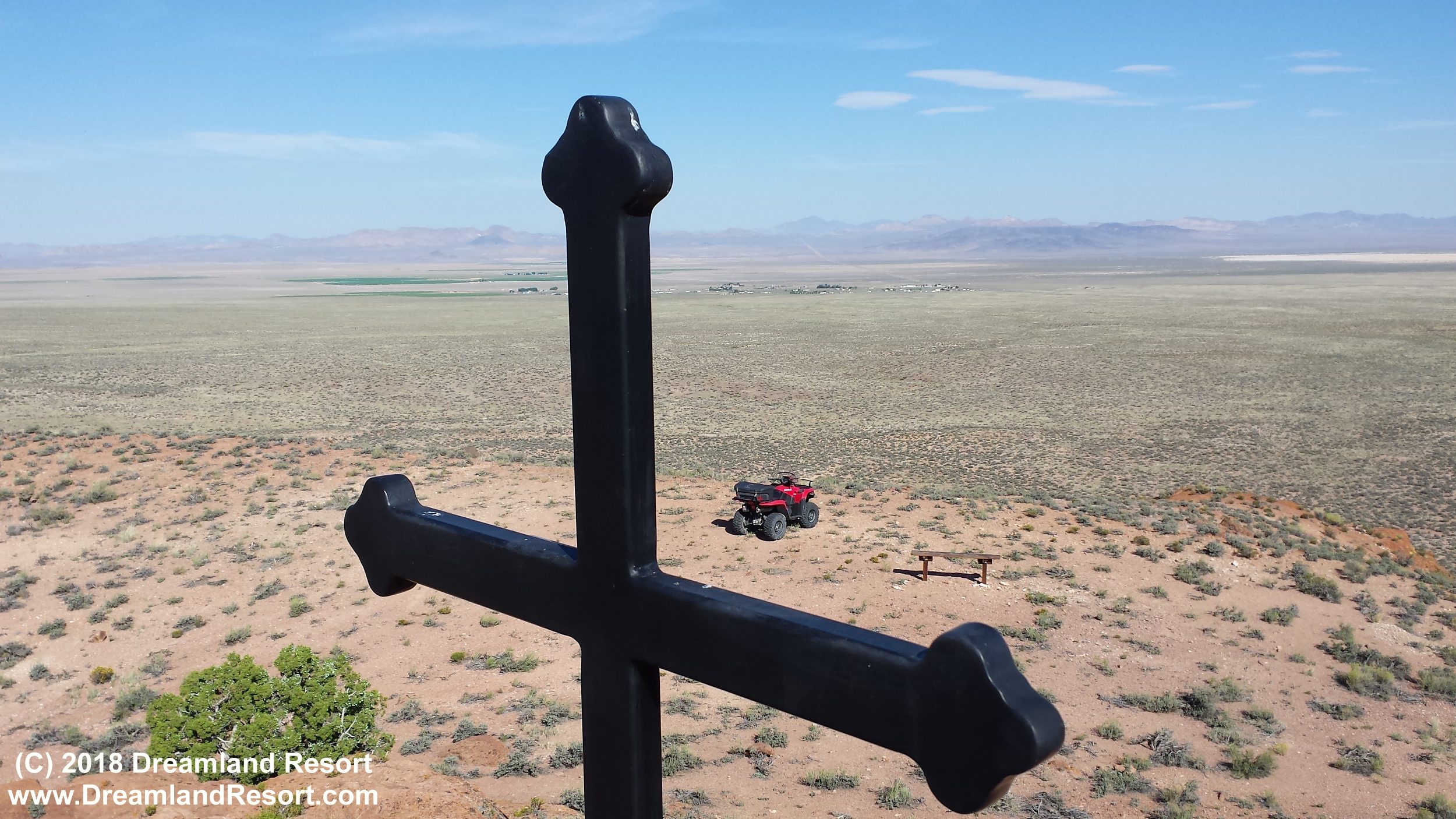
View over Rachel from a hill near Hwy 375. The cross in the foreground is a memorial for Sgt. Howard Stevenson, a California police officer who enjoyed spending time in Rachel. He was killed in the line of duty. [08/15/2015, click to enlarge]